Home
Home of Perspecta Weather with forecasts, blogs, and climate insights from Perspecta meteorologist Paul Dorian.


The inside scoop on the weather
Arcfield Weather
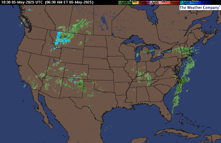
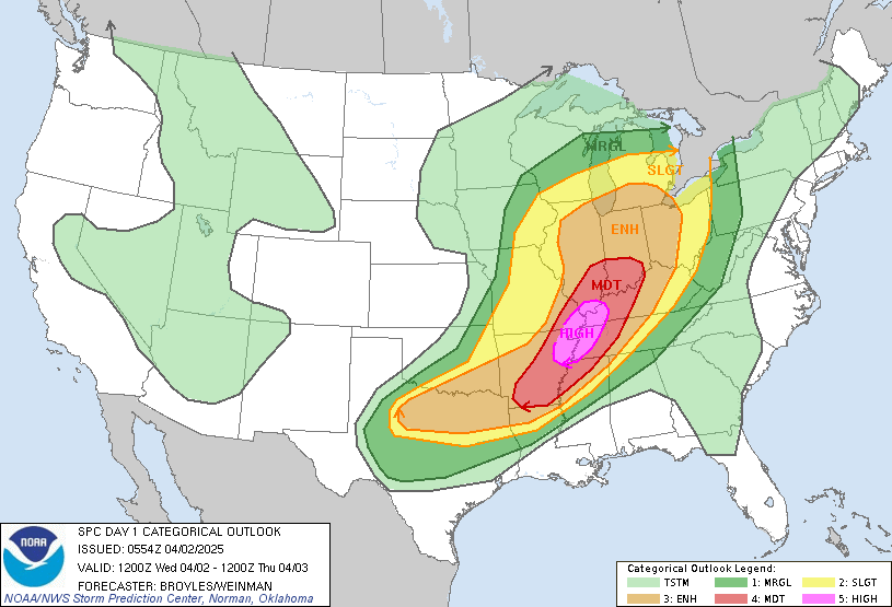
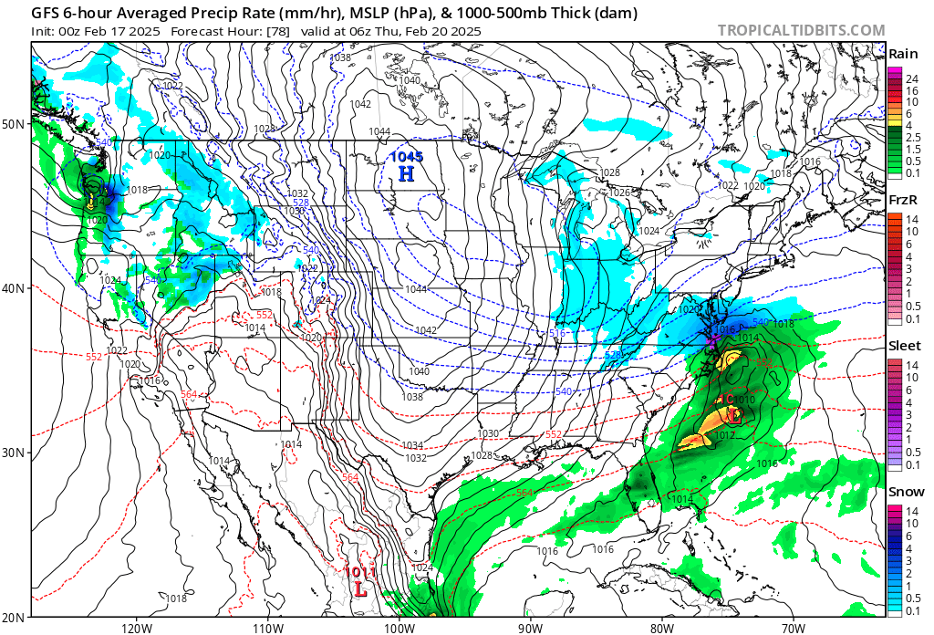
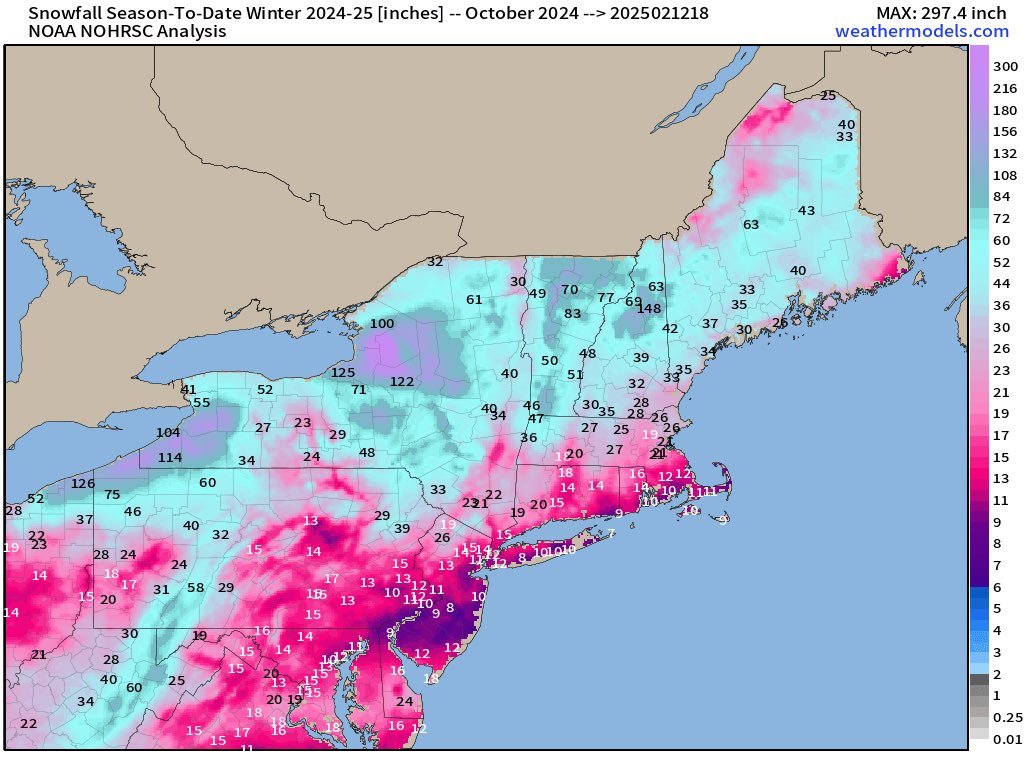
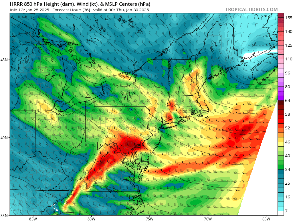
Arcfield Weather provides 6-day weather forecasts for the Philadelphia, Washington, D.C. and New York City metro regions in the Mid-Atlantic region as well as Huntsville, Alabama in the Southeast US and Denver, Colorado in the Rocky Mountain States. These forecasts are available each weekday morning with frequent detailed video discussions to help plan your day and week. Updated afternoon and weekend posts are frequently provided; especially, in times of rapidly changing or severe weather conditions.
Seasonal outlooks
In addition to the 6-day weather forecasts, seasonal outlooks are provided for upcoming winter and tropical seasons with extensive video discussions and blog posts.
Relevant discussions, topics that matter
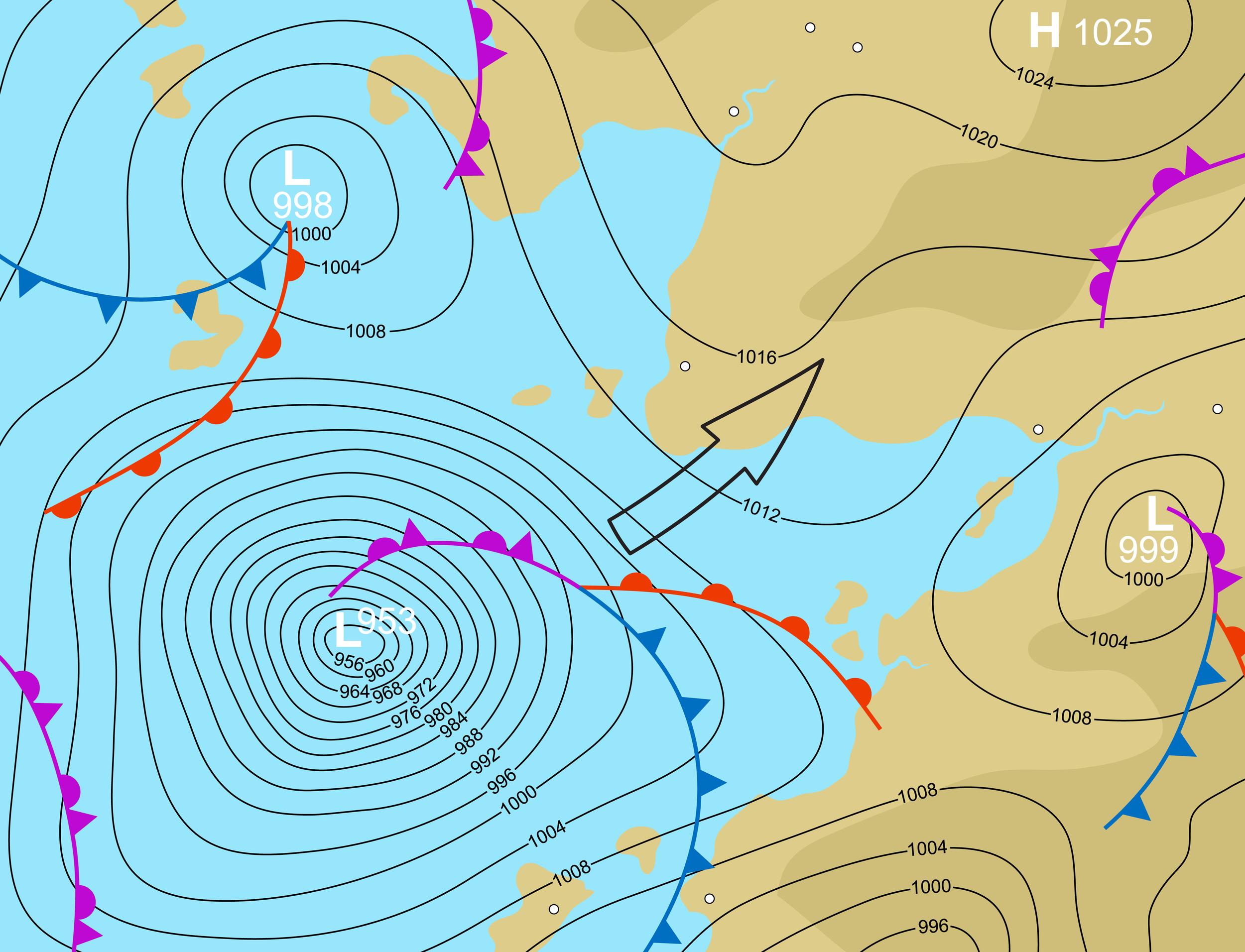
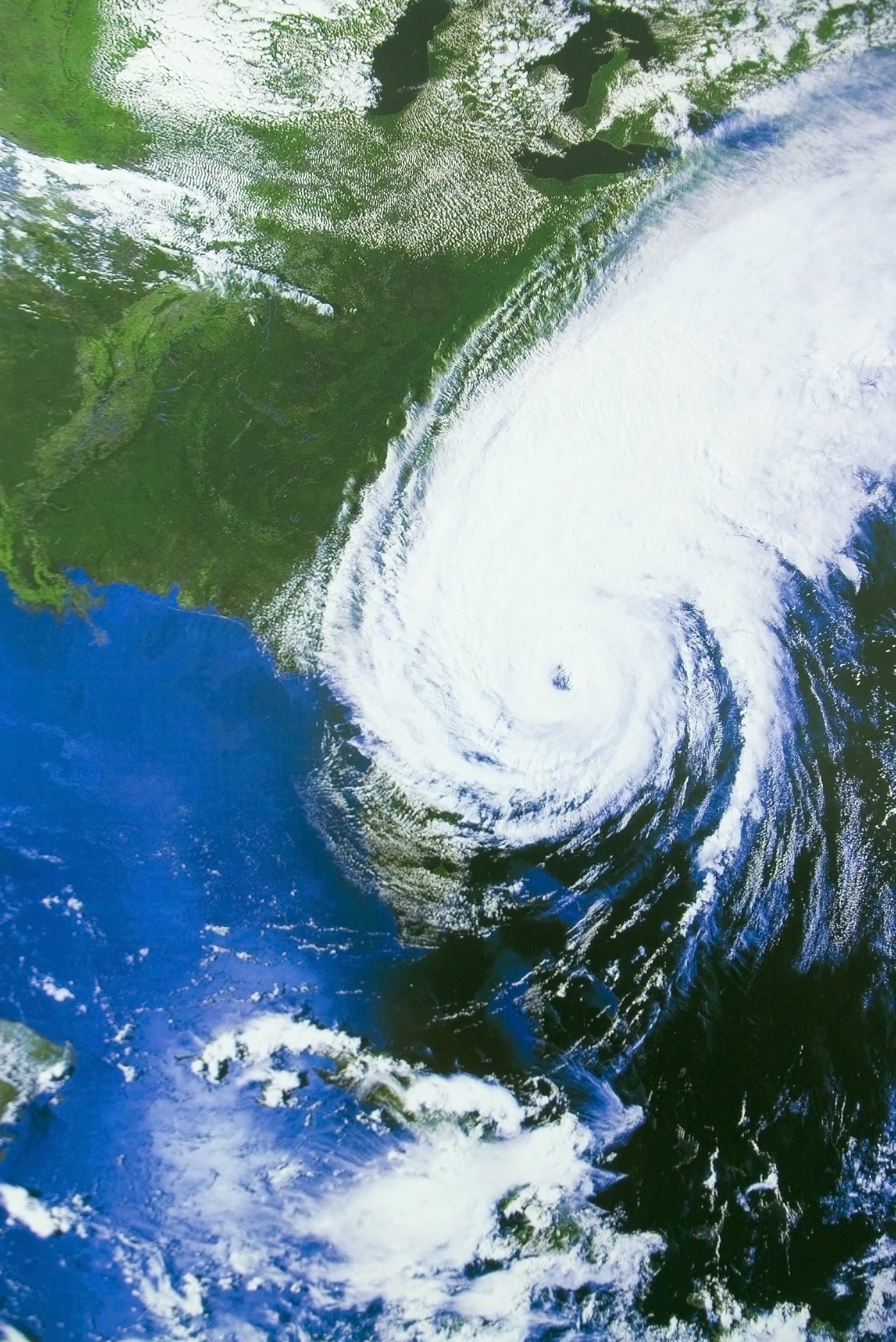
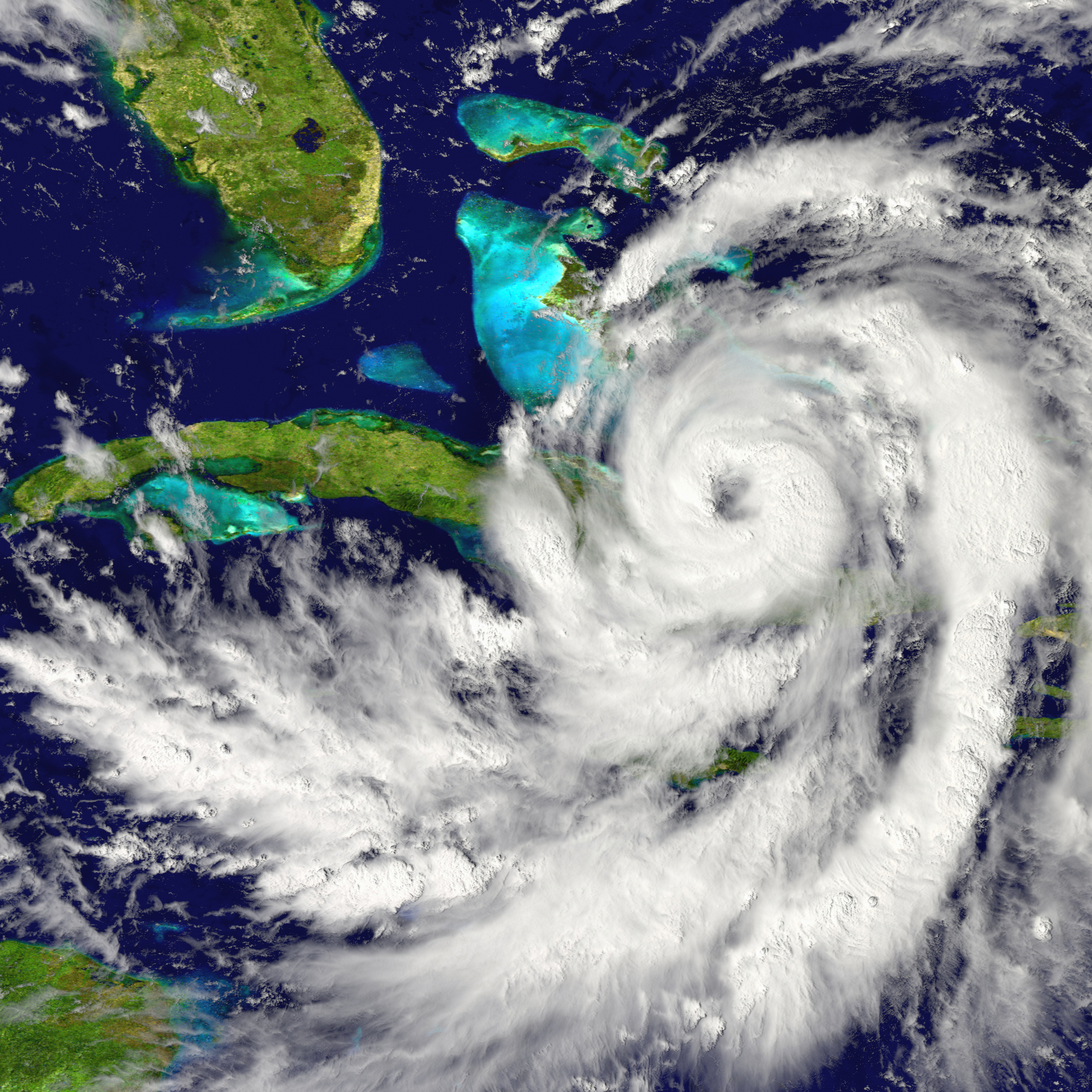
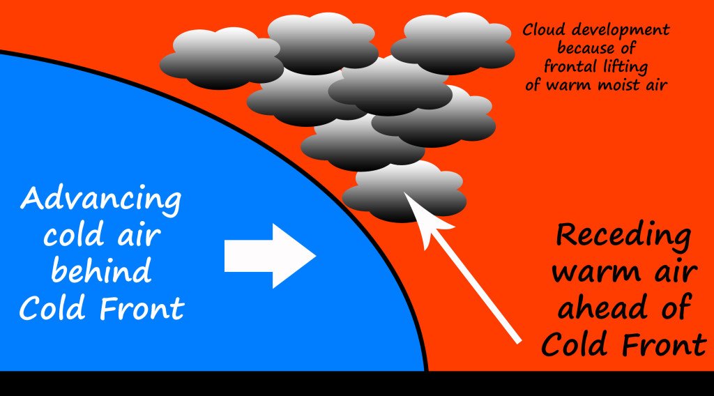
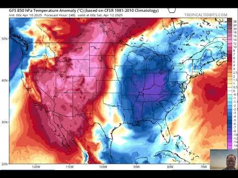
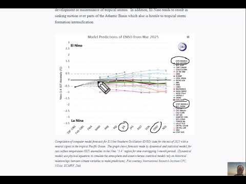
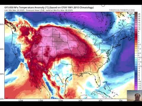
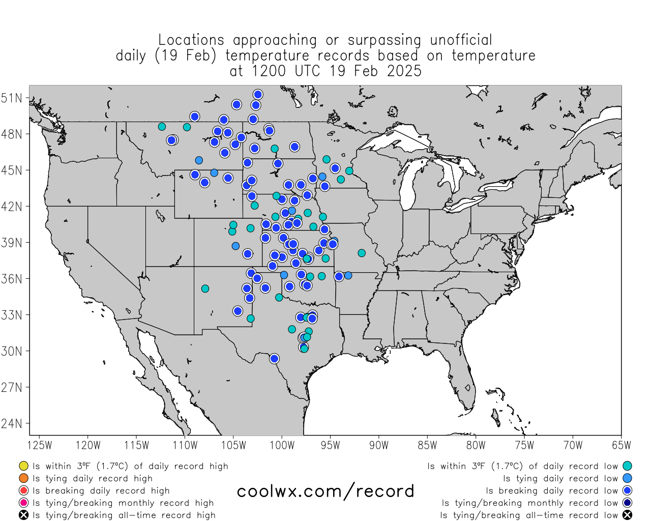
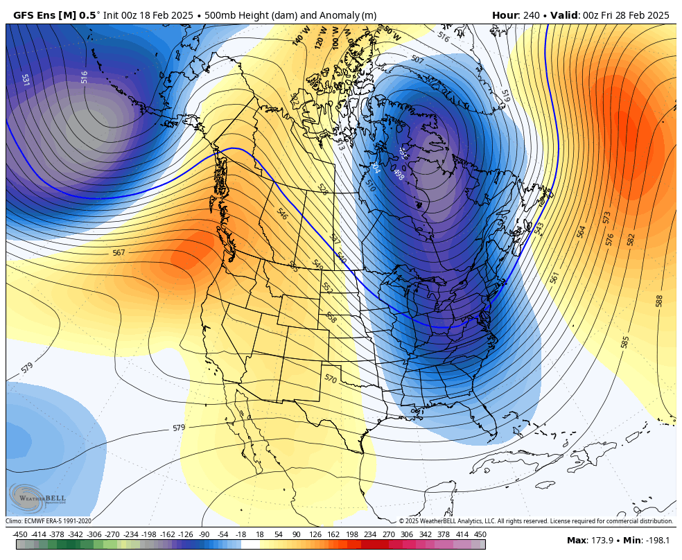
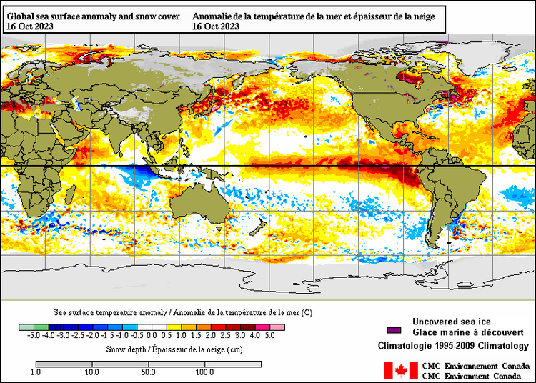
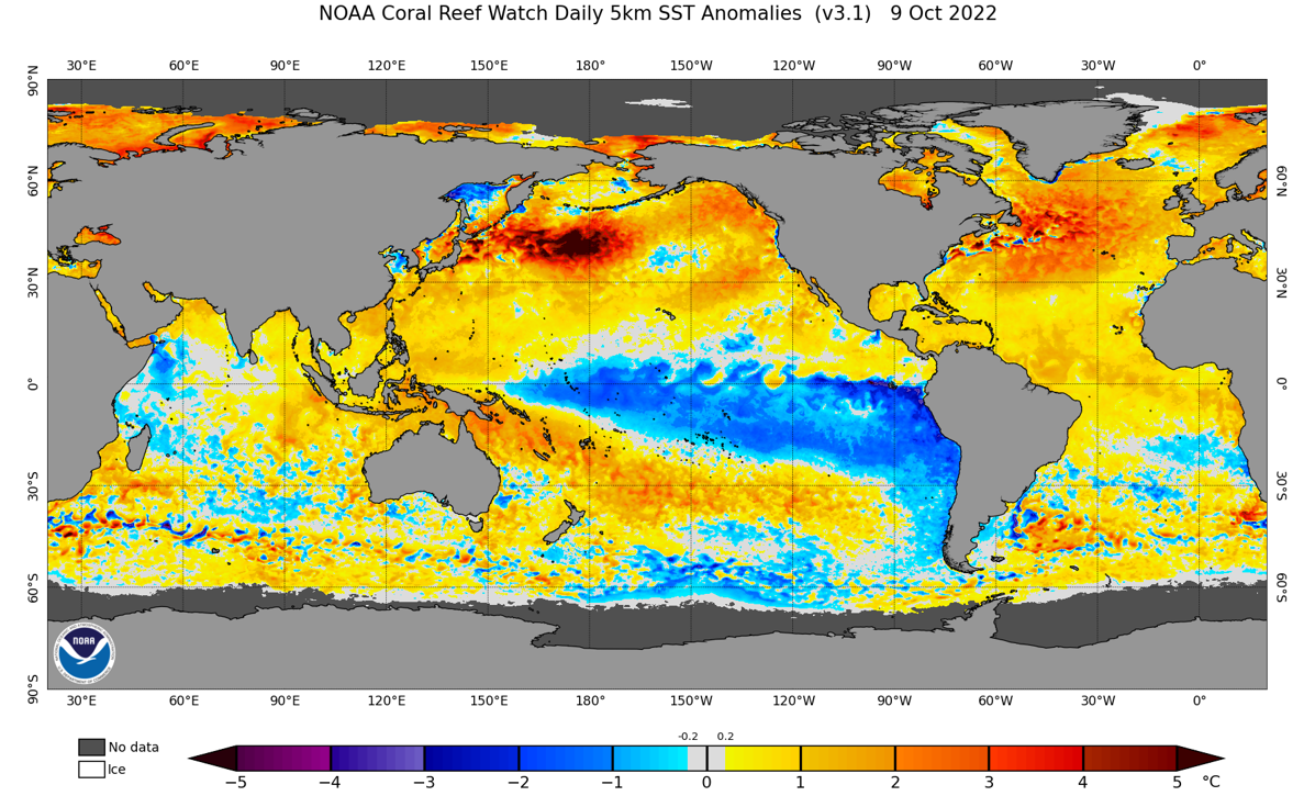
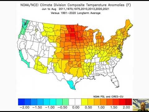
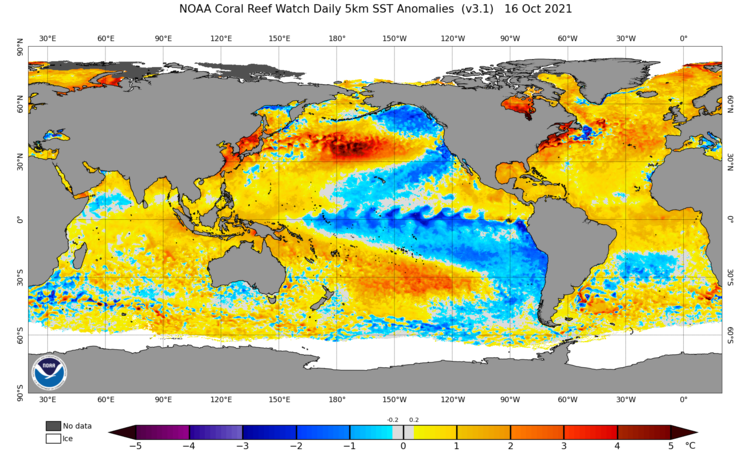
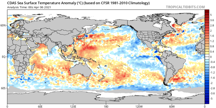
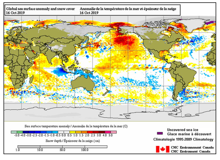
Climate is always changing and expert interpretations are frequently provided here on important topics including oceanic cycles, global sea ice, and long-term trends of hurricanes, tornadoes, and global temperatures. In addition to the information provided on Earth's dynamic atmosphere and oceans, posts are frequently provided on solar activity and cycles which play critical roles in our weather and climate.
LATEST BLOG

Make better plans and decisions with better forecasts
LATEST VIDEO


Arcfield Weather meteorologists provide highly accurate and tailored forecasts to help you decide when to mow the lawn, prep the snow blower or carry an umbrella. No hype–just the facts and expert analysis on what you can expect during the upcoming week.
Learn about the weather through in-depth video discussions
Detailed video discussions provide insight into what's happening with the weather and why it's happening.
Meteorology 101
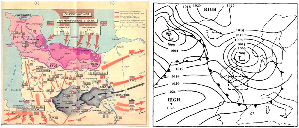
More than thirty instructional videos have been made on a variety of meteorological topics including computer forecast models, space weather, and weather's impact on the home run. The videos are designed for a variety of audiences from the seasoned weather forecaster to the general weather enthusiast.
Watch the latest video and subscribe to the YouTube channel to stay up-to-date with the latest insights.
Media Recognition and Honors
Arcfield Weather has been selected by Feedspot.com as one of the "90 Best Weather Blogs and Websites" (ranked 49th out of 90) from around the world.
Arcfield Weather has also been selected by Feedspot.com as one of the "Top 60 Weather YouTube Channels" (ranked 37th out of 60) from around the world.


Meteorologist Paul Dorian was interviewed on WTKI Radio in Huntsville, AL. Listen to the December 2016 appearance here and and the March 2017 interview here.